
Wednesday, March 9, 2016 Dan McShane
A little shore bluff history review of the north shore of Bellingham Bay shows that shoreline indicates that this a very dynamic area. Click on the images to make them larger.
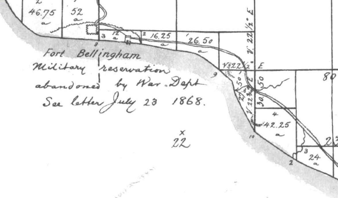
The above early map Government Land Office map does not reveal a lot about the shore, but does note a road inland from the coast and notes the former location of Fort Bellingham.

The T-Sheet map of 1887 denotes that the upland area where the fort had been located is farm fields. The stipple pattern on the shore suggests a broad beach. […]
Read Dan’s complete post on Reading the Washington Landscape here.
